
Instagram Influencers
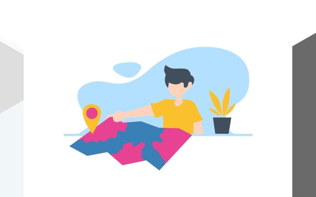
Discovering hidden gems: Location intelligence reveals secret spots and trendy hideaways that even Instagram influencers haven't found yet!
Track hiking adventure
Real-time location sharing: Let your friends track your hiking adventure or escape from a corn maze—no compass required!

Fast Delivery
Optimizing delivery routes: Getting your goodies to your doorstep faster than a cheetah with a jetpack! FollowFollowFollowFollowFollow Feature Posts
Discount favorite store
Location-based deals: Unlock discounts when you're near your favorite store. Who said shopping can't be a treasure hunt? FollowFollowFollowFollowFollow Feature Posts

Gonigs Christmas 2023
🎄✨ Merry Christmas from Gonigs! 🌍🎁 Wishing you a joyous holiday season filled with laughter, love, and the warmth of family and friends. 🎅🤶 May your celebrations be as precise and delightful as our location intelligence solutions! 🌐❤️ Cheers to a year filled with new discoveries and successful journeys! 🚀🎉…
Find Customers
Finding your customers' favorite hangouts: Location intelligence helps businesses discover where the party's at! FollowFollowFollowFollowFollow Feature Posts
Putting Your Business On The Map
Putting Your Business On The Map: Navigating the Digital Landscape In the ever-evolving digital era, putting your business on the map takes on a whole new meaning. No longer confined to physical locations, businesses now have the opportunity to establish a global presence through the power of the internet. However,…
Market Expansion With a Dash of Adventure
Market Expansion with a Dash of Adventure: Location Strategies Guide Us on a Thrilling Journey to Explore New Markets and Leave Our Mark --- In the ever-evolving landscape of global business, expansion is not just a choice; it's a necessity. Every successful company dreams of growing beyond its current borders,…
Cracking The Location Code
Cracking The Location Code: Unraveling the Secrets of Geographic Significance In our ever-connected world, where information travels at the speed of light and distances seem to shrink, location remains a pivotal factor that shapes our lives in profound ways. Whether it's the buzzing metropolis where dreams are woven into reality…